Devil’s Punch Bowl County Park, Menomonie, WI
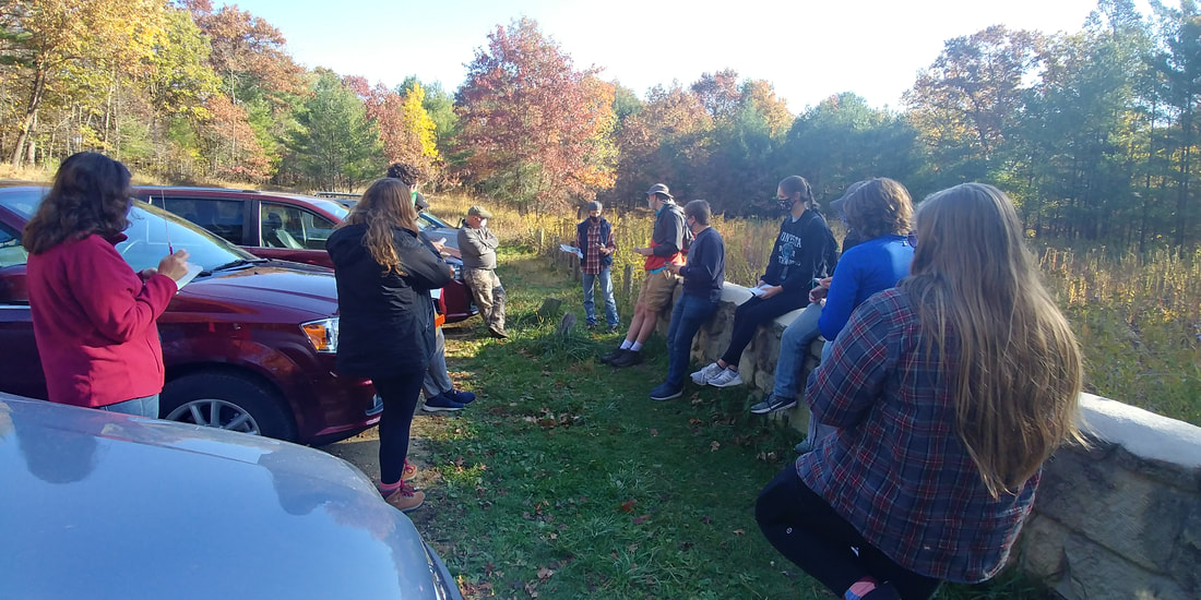
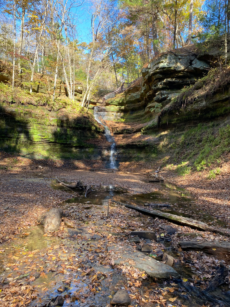
Devil’s Punch Bowl was the first stop of day 6. When we arrived, we were accompanied by Rick Remington from the Landmark Conservancy. Before we trekked down into the Punch Bowl, he gave some insight about what the conservancy is for. It was cool to see what someone in the geography field is working in. He began his speech taking about land trusts. In the US there are about 1000 land trusts and 45-50 are within Wisconsin. The Landmark Conservancy has owned the Punch Bowl for 20 years. After we walked down the stairs into the Punch Bowl, Remington shared a few management challenges with the Punch Bowl. Most of them are maintenance problems. A few of them are how to cross the creek, how to make it ADA accessible, and what is the best way to update the stairs that are already there.
Hoffman Hills State Recreation Area, Menomonie, WI
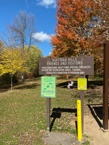
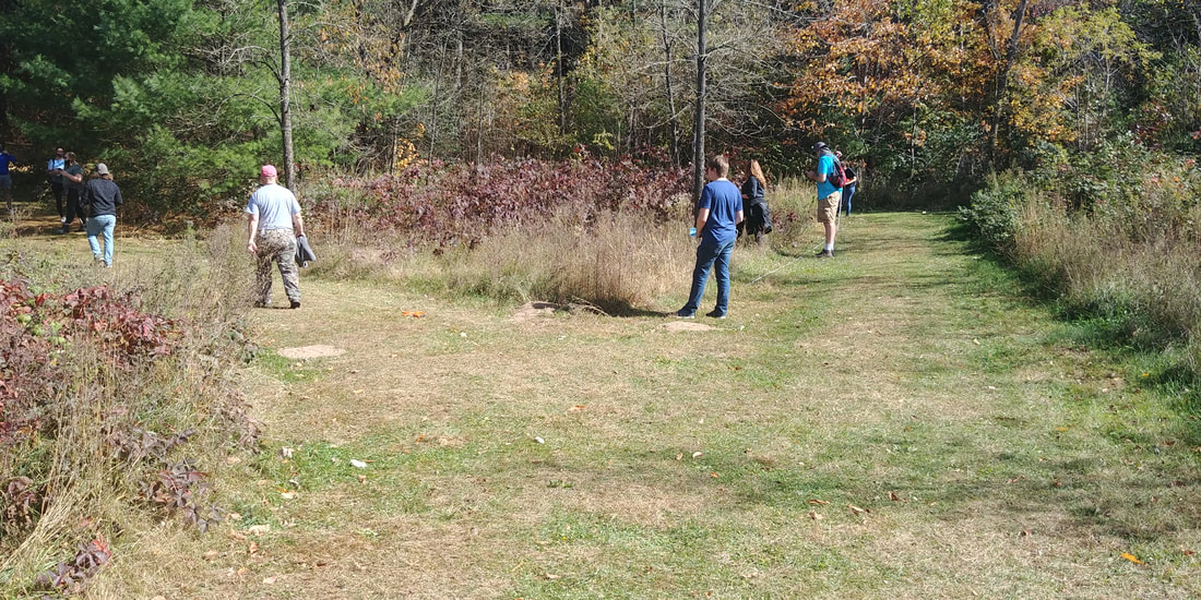
Our second stop of day 6 was to Hoffman Hills State Recreation Area, located about 10 miles northeast of Menomonie. Upon our arrival, Dr. Running gave a brief presentation on the landscape features common to the area. We were interested to learn that the glacial terrain found at Hoffman Hills was very similar to that which we encountered at the Ice Age Trail on day 3. At the conclusion of Dr. Running’s presentation, we split up into groups and set out with our equipment to conduct a survey of tree species found at Hoffman Hills.
From the parking lot we hiked the Plantation Trail until it connected to the Lower Pines Trail. We continued on that trail until it led us back to the parking lot. In total, it was a little over a mile of hiking. During this hike we used measuring tapes, handheld GPS units, and the PlantNet App on our phones, to document both the species and prevalence of trees found throughout Hoffman Hills. As we came across different species of trees within our study areas, we would store a waypoint datapoint as well as document what kind of tree it was in a journal. Some of the tree species we documented were: Buckthorn, American Elm, Birch, Lombardy Poplar, Shagbark Hickory, Black Locust, and variety of maples, oaks and pines.
From the parking lot we hiked the Plantation Trail until it connected to the Lower Pines Trail. We continued on that trail until it led us back to the parking lot. In total, it was a little over a mile of hiking. During this hike we used measuring tapes, handheld GPS units, and the PlantNet App on our phones, to document both the species and prevalence of trees found throughout Hoffman Hills. As we came across different species of trees within our study areas, we would store a waypoint datapoint as well as document what kind of tree it was in a journal. Some of the tree species we documented were: Buckthorn, American Elm, Birch, Lombardy Poplar, Shagbark Hickory, Black Locust, and variety of maples, oaks and pines.
Dunnville State Rec Area and Sandbar, Menomonie, WI
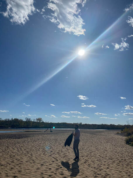
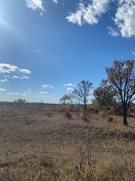
We ended the day of touring physical landscapes at the Dunnville State Rec Area and Sandbar in Menomonie, WI. We started out getting familiar with the site as we tried to find the sandbar and encountered a trail that led us through the vegetation towards the bridge. Before encountering the sandbar, we stopped to listen to Garry inform us about the oak savanna that occupied the landscape. The diversity of the landscape was instantly recognizable, and the numerous bur oaks stood out against the grassland vegetation. Garry explained that the oak savanna in the rec area was maintained by prescribed burning, and that the site is used as training for controlled burns in other areas. We continued to the sandbar, where we examined various features of the glacial outwash along the river that made up the sandbar before being led on some of the local trails by Cyril.
|
|
